Accurate herd counts and wildlife intel mapping to help ranchers, landowners, and hunters make smarter decisions.
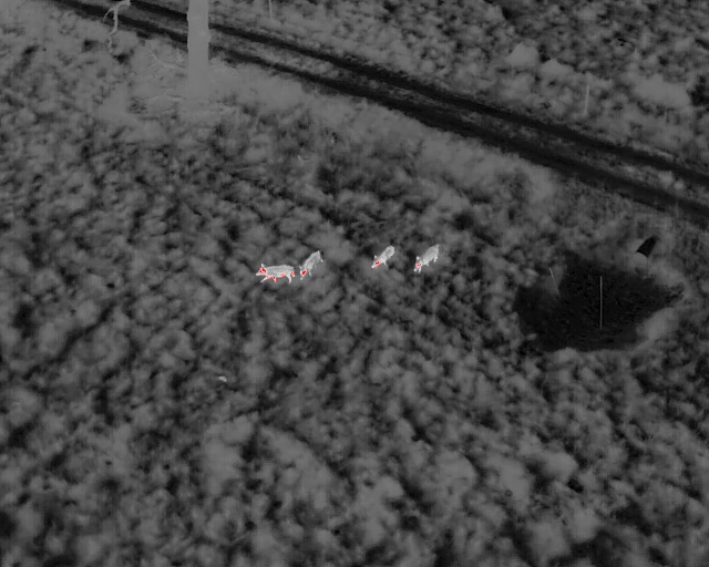
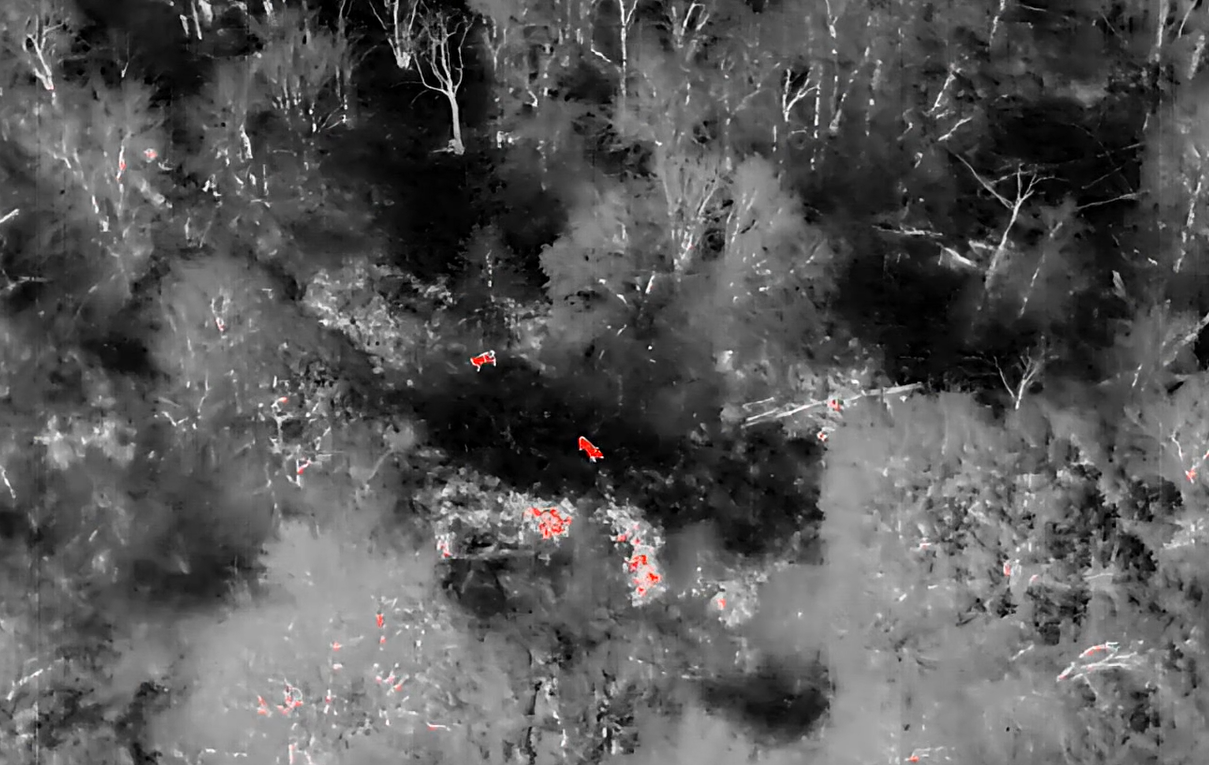
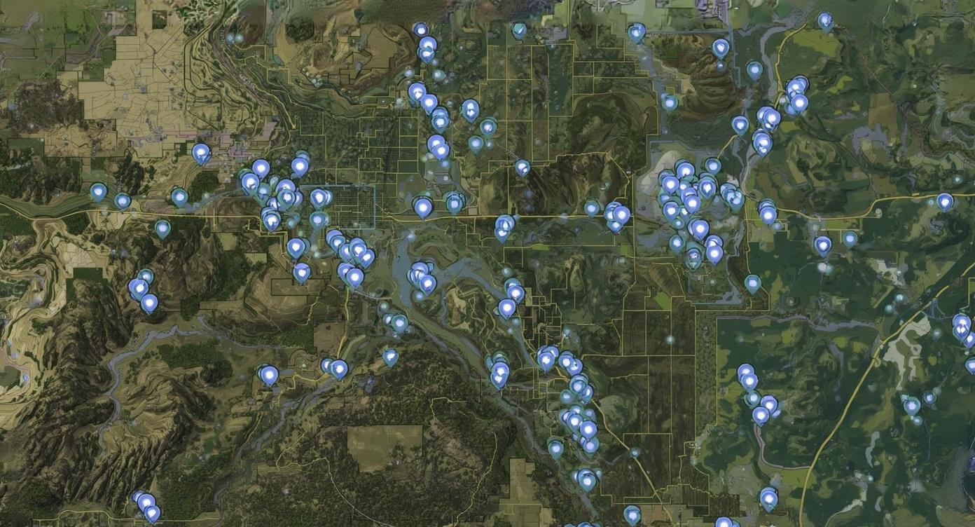
At Vantage Recon, we combine cutting-edge thermal drone technology with years of field expertise to deliver precision wildlife surveys you can trust. Whether you’re a Texas rancher tracking herd health, a landowner wanting to know how many bucks call your property home, or a hunter preparing for the season, our mission is simple: provide actionable data that elevates the way you manage your land.
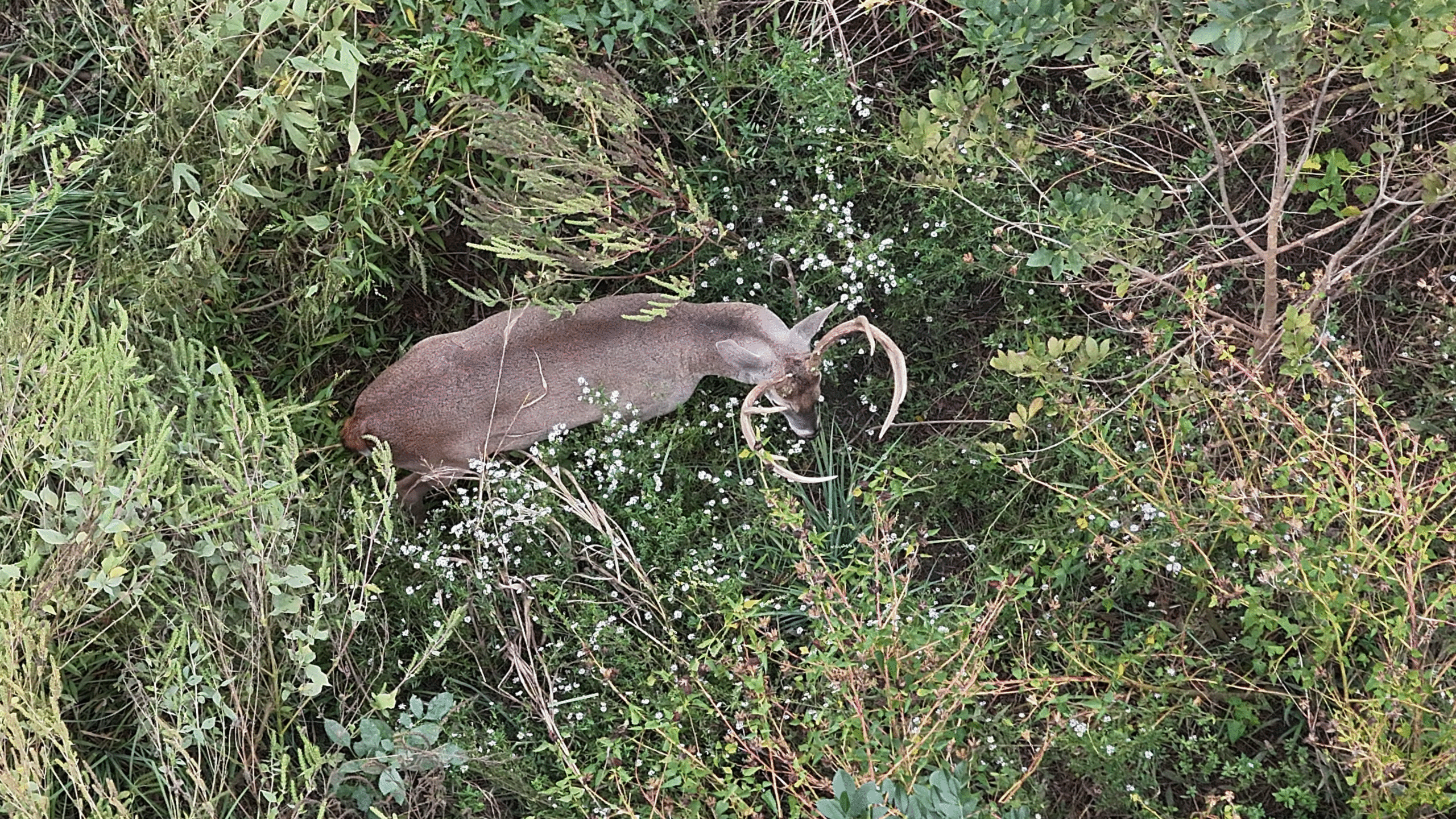
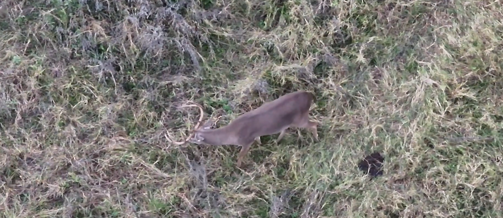
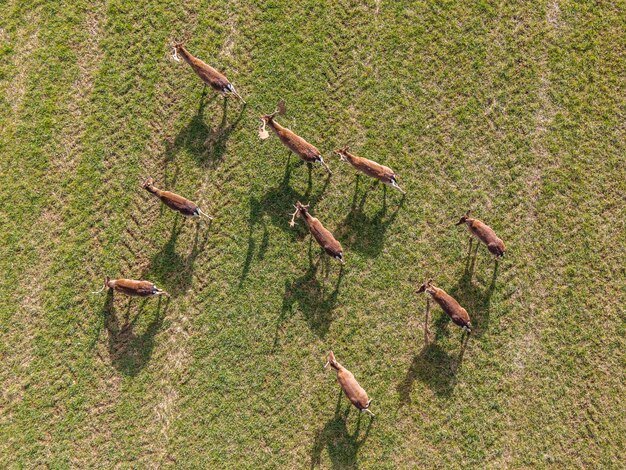
Designed for those who demand more than guesswork, our service delivers clarity, accuracy, and premium insight. Along with detailed surveys, we create cinematic highlight reels that showcase the most impressive wildlife on your property, giving you not only the numbers but the unforgettable visuals.
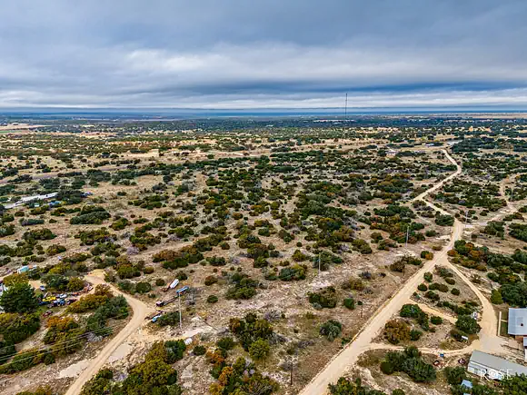
With Vantage Recon, you experience your land from a higher perspective, empowering you to protect your investment, enhance your legacy, and maximize every season.
Our Vision
To revolutionize the way landowners, ranchers, and hunters understand and manage their wildlife. We aim to set the new standard for accuracy and insight in wildlife surveys. By pairing cutting-edge drone technology with expert analysis, we deliver data that drives smarter decisions and healthier herds.
Our Mission
Our mission is to provide landowners with actionable wildlife intelligence that was once impossible to capture. We deliver clarity through herd counts, movement patterns, and habitat insights that create lasting impact. Every survey is designed to help clients protect their investment, optimize harvests, and unlock the full potential of their land.
Choose Vantage Recon for precision surveys, reliable reporting, and insights that help ranchers, landowners, and hunters make smarter decisions.
Cover thousands of acres in a single flight, reducing manpower and guesswork.
Thermal drone surveys provide more reliable counts than spotlight surveys or trail cams.
We deliver data you can use immediately for herd health, predator control, and hunting strategy.
We know the land, the wildlife, and the unique challenges ranchers face.
We start with a quick call to understand your property and your goals. We take time to learn exactly what you want to accomplish so we can tailor the survey to your needs and deliver the most useful data possible.
Based on your acreage and objectives, we provide a clear estimate and prepare a custom flight plan. This includes survey routes, coverage areas, and the thermal and/or visible-camera requirements for your selected services.
We start with a quick call to understand your property and your goals. We take time to learn exactly what you want to accomplish so we can tailor the survey to your needs and deliver the most useful data possible.Once the flight plan is approved, we schedule your survey for the earliest ideal window—typically at dusk or nighttime when thermal signatures are most accurate. We coordinate access, gates, and all on-site logistics.
We arrive on-site, conduct the full thermal survey, capture all required footage and data, and ensure the entire property is fully and accurately surveyed according to the flight plan.
Within 7 days of the survey, you receive all deliverables included in your selected package. This may include:
– Herd count breakdown
– Wildlife intel map
– Highlight reel
– Habitat notes or MLDP support
Vantage Recon helped us get an exact count of our whitetail herd. The reporting was clear and professional worth every penny.
They spotted several coyotes on our property that we hadn’t noticed. Having this information saved us a lot in potential livestock losses.
The game movement maps showed us exactly where deer were bedding and feeding. Our hunting strategy completely changed for the better.
Lorem ipsum dolor sit amet, consectetur adipiscing elit. Ut elit tellus luctus
Perfect for small projects and one-time shoots
Ideal for real estate, events, and business needs
Best for industrial, mapping, or multi-day projects